Most visitors to Stockholm follow the same handful of steps: the cobbles of Gamla Stan, a ferry out to the archipelago, a photo at the Vasa Museum. All of it is worth doing, and none of it is quiet. But a mapping project released this summer points to a different kind of Stockholm entirely, a set of places inside the county that mobile network data shows almost nobody actually visits, according to the Stockholm newspaper Mitt i. Two of the six sites on the list sit inside places any visitor can actually reach without a boat or a survival kit: Tyresta National Park and the island of Lovon.
How do you map “almost nobody goes here”?
The list comes from outdoor gear company Haglofs, working with telecom operator Telia on a project called Unvisited Sweden. The method is anonymized and aggregated mobile network data collected over several years, adjusted to represent the whole population rather than only Telia’s own customers, used to find spots where the data shows almost no human presence at all. Haglofs is upfront about what that does and does not prove. Its press officer, Lovisa Cederstrand, told Mitt i that the Stockholm sites are not places nobody has ever set foot in, but “the least visited places in the county according to the method Telia has used.” Fair warning built into the premise: as Haglofs puts it on its own site, a place changes the moment it gets photographed and shared, so treat the list as a lead rather than a guarantee of untouched wilderness.
Six points, one common thread
The six locations Mitt i published span the length of the county: an area east of Arlanda Airport, western Lovon, the skerry Gassten out toward the outer archipelago, a spot south of the island Munko, Svardsnas, and a lake called Langsjon. Some require a boat or a serious hike to reach. Two do not, because they sit inside places that already have a road, a bus stop and a car park: Tyresta National Park and Lovon.
Tyresta National Park: old-growth silence twenty kilometres out
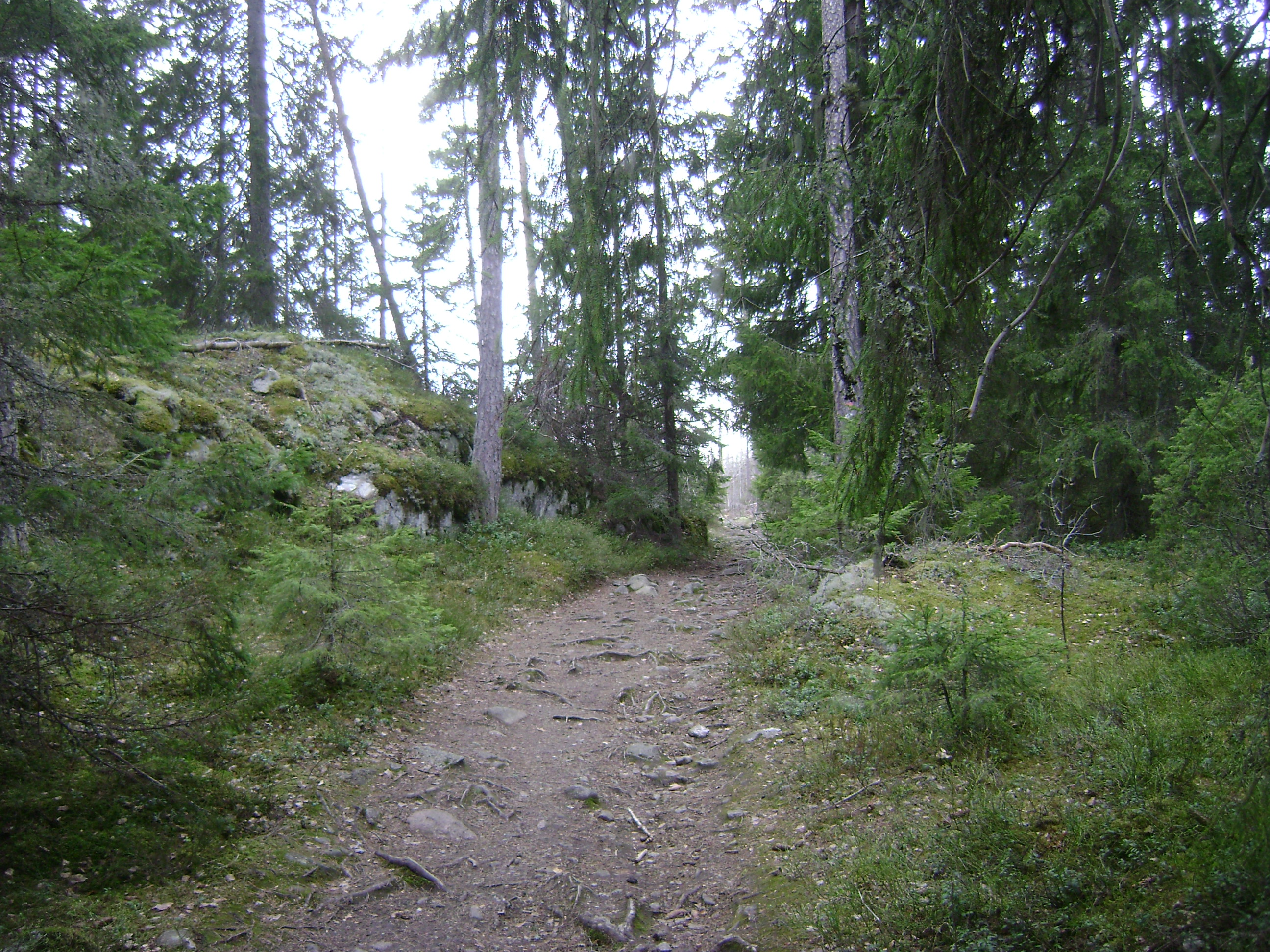
Langsjon, one of the six least-visited points on the list, lies inside Tyresta National Park, roughly twenty kilometres south of central Stockholm. That placement is not our inference: Mitt i captions its own photograph “Inte manga besoker Langsjon i Tyresta nationalpark”, and publishes the coordinates 59.193958, 18.295169 for the point. According to the official park authority, Tyresta protects the largest remaining area of old-growth forest south of the Dalalven river, a landscape of centuries-old pines, spruce, burned ground and bare rock that has never been logged. The park was established in 1993 and gets a steady trickle of hikers around its visitor centre and the historic village of Tyresta by, which is exactly why a lake deeper inside its trail network can register close to nothing on mobile data. To get there without a car, take a bus toward Haninge and change onto bus 834, which runs directly to the Tyresta by stop at the main entrance. From there the marked trails fan out into the quieter parts of the park. Bring your own food and water. There is no service once you are on the trails, and whatever is open at the main entrance varies by season, so check before you set off rather than count on it.
Lovon: a UNESCO palace on one side, near total solitude on the other
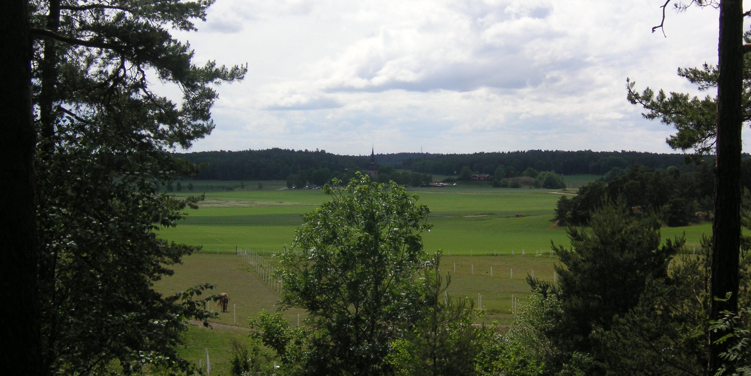
Lovon is not an obscure island. It sits in Lake Malaren about ten kilometres from central Stockholm and is home to Drottningholm Palace, a working royal residence and a UNESCO World Heritage Site, inscribed as the Royal Domain of Drottningholm in 1991. The Royal Palaces recommend the underground to Brommaplan and a bus from there, or the summer boat from Stadshuskajen. Most visitors get off at the palace and its gardens and go no further. The mapping project’s western Lovon point sits on the far side of that same island, away from the palace crowds, and the mobile data shows it as one of the least visited spots in the entire county. It is a useful example of how close “unvisited” and “overrun” can sit next to each other on the same patch of land. Anyone who wants to see both in one afternoon can tour the palace, then simply keep walking or cycling west along the island’s quiet farm roads.
Before you go
None of these six points are marked with a sign or a trailhead, and that is the point. Treat the coordinates as a general direction rather than a pin to walk straight to. Sweden’s right to roam, allemansratten, means you are free to walk, cycle or pitch a tent for a night on most uncultivated land without asking, as long as you keep a respectful distance from houses and leave no trace. Bring a paper map or an offline map app, since phone coverage is exactly what got these places found in the first place, and it can still be thin once you are off the main trail. Pack out everything you pack in. If a walk that starts at Tyresta by or the Drottningholm bus stop and ends somewhere quieter sounds better than another hour in a queue, this is the version of Stockholm built for it. For the more traditional side of the region, our guide to the Stockholm archipelago and how to island hop by ferry covers the boats and the better known islands.
Last fact-checked: 29 August 2026